Blog Details
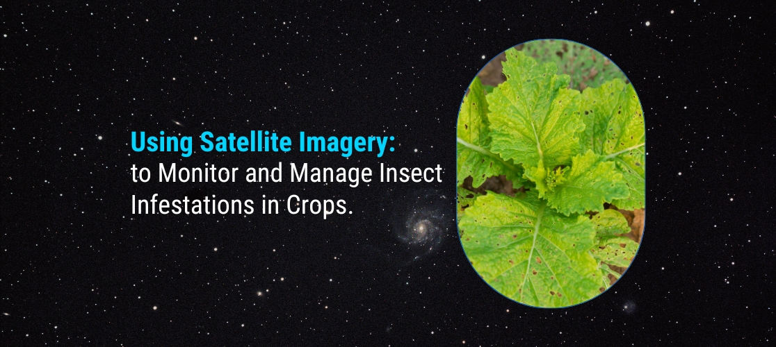
Using Satellite Imagery to Monitor and Manage Insect Infestations in Crops.
09 May 2023
Using Satellite Imagery to Monitor and Manage Insect Infestations in Crops.
Insects can cause significant damage to crops, leading to lower yields and reduced profitability for farmers. However, monitoring and managing insect infestations can be a challenge, especially in large-scale agricultural operations. Satellite imagery offers a powerful tool for detecting and managing insect infestations in crops. In this blog, we will explore the use of satellite imagery for monitoring and managing insect infestations in crops in pointers.
Remote sensing: Satellite imagery allows for the remote sensing of large areas, making it possible to quickly identify areas of crop damage caused by insect infestations. High-resolution images can be used to detect changes in the color, texture, and structure of crops that may indicate the presence of pests.
Early detection: Early detection is critical for managing insect infestations, as it allows for prompt action to be taken before the infestation spreads. Satellite imagery can be used to identify areas of crop damage before the infestation becomes visible to the naked eye, allowing for early intervention.
Data analysis: Once the satellite imagery has been obtained, machine learning algorithms can be used to analyse the data and identify areas of crop damage caused by insect infestations. This can help farmers to target their management efforts more effectively, reducing the use of pesticides and other control measures.
Crop mapping: Satellite imagery can be used to create detailed maps of crop health, allowing farmers to identify areas of the field that are most vulnerable to insect infestations. This information can be used to implement targeted management strategies, such as the application of pesticides or the use of beneficial insects for natural pest control.
Time and cost savings: Using satellite imagery for insect monitoring can save time and costs associated with manual scouting and data collection. It allows for quick and efficient identification of areas of crop damage, reducing the need for labor-intensive field surveys.
In conclusion, the use of satellite imagery for monitoring and managing insect infestations in crops offers a powerful tool for farmers and agronomists. With the ability to quickly and efficiently identify areas of crop damage and target management efforts more effectively, satellite imagery can help to improve crop yields and reduce the environmental impact of pesticide use. However, effective analysis and interpretation of the data require expertise and training, and close collaboration between farmers and researchers is essential for successful implementation.
Join our community and never miss an update! Subscribe to our newsletter and blog to stay up-to-date on the latest trends, tips, and insights in your area of interest. Don’t miss out on exclusive content and promotions. Sign up now and be a part of our growing community!