Blog Details
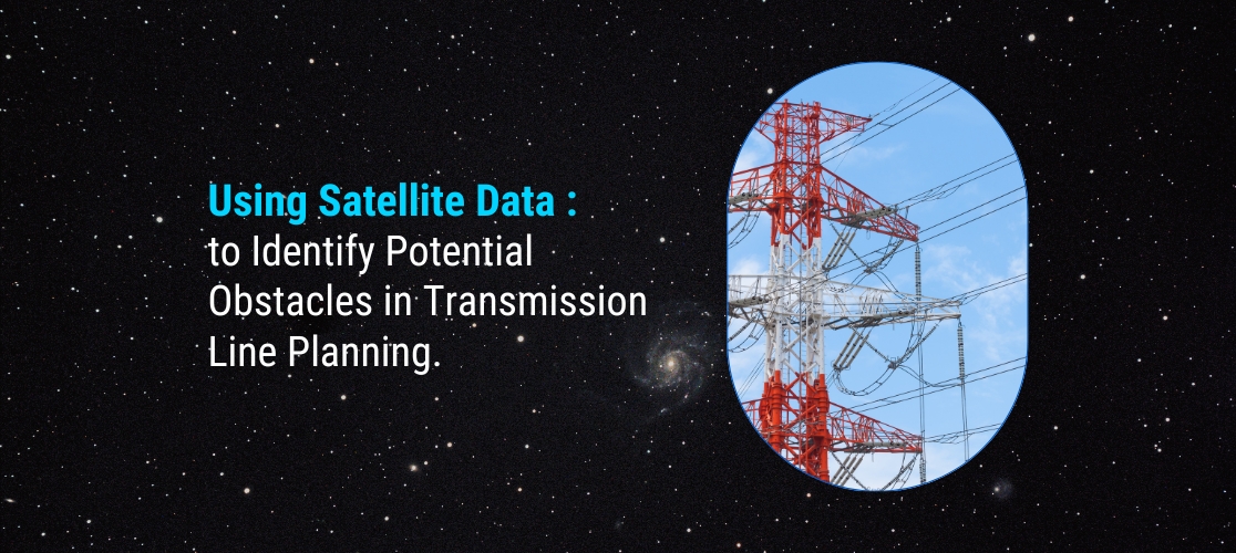
Using Satellite Data to Identify Potential Obstacles in Transmission Line Planning
12 May 2023
Using Satellite Data to Identify Potential Obstacles in Transmission Line Planning
Planning and constructing transmission lines require a thorough understanding of the terrain and potential obstacles that may hinder the project’s progress. With satellite data, it is now possible to identify these obstacles and plan accordingly. In this blog, we will explore how satellite data can be used to identify potential obstacles in transmission line planning in pointers.
Terrain analysis: Terrain analysis is a crucial step in transmission line planning. Satellite data can provide high-resolution images of the terrain, including elevation and slope data, which can help to identify areas where construction may be difficult. This information can be used to plan the route of the transmission line and to determine the necessary construction techniques and equipment.
Vegetation analysis: Vegetation can also pose a significant obstacle to transmission line construction. Satellite data can be used to analyse vegetation density and height, allowing planners to identify areas where vegetation may need to be cleared before construction can proceed.
Obstruction analysis: Satellite data can be used to identify potential obstructions to the transmission line, such as buildings, trees, or other infrastructure. This information can be used to adjust the route of the transmission line and to ensure that there is sufficient clearance between the line and any potential obstacles.
Weather monitoring: Weather conditions can significantly impact transmission line construction, and satellite data can be used to monitor weather patterns and identify potential weather-related obstacles. For example, heavy rain or snow may cause landslides or other erosion that can make construction difficult.
Project monitoring: Once the transmission line construction is underway, satellite data can be used to monitor the progress of the project and identify any potential issues that may arise. This information can be used to adjust the construction schedule and ensure that the project stays on track.
In conclusion, satellite data provides a valuable tool for identifying potential obstacles in transmission line planning. With high-resolution images of the terrain, vegetation, and potential obstructions, planners can make informed decisions about the route of the transmission line and the necessary construction techniques and equipment. This information can help to ensure that the project proceeds smoothly and on schedule, ultimately delivering reliable electricity to consumers.