Blog Details
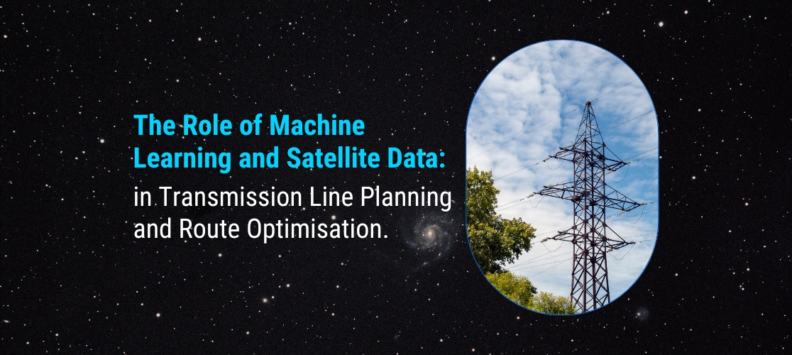
The Role of Machine Learning and Satellite Data in Transmission Line Planning and Route Optimisation
02 May 2023
The Role of Machine Learning and Satellite Data in Transmission Line Planning and Route Optimisation
The planning and optimisation of transmission line routes are complex tasks that require careful consideration of a range of factors, including terrain, environmental impact, and cost. The use of machine learning and satellite data can help to streamline this process, providing valuable insights and data that can be used to optimise transmission line planning and routing. In this blog, we will discuss the role of machine learning and satellite data in transmission line planning and route optimisation.
Terrain analysis: Machine learning algorithms can be used to analyse satellite data to identify the most suitable routes for transmission lines based on terrain features such as elevation, slope, and soil type. This analysis can help to identify areas that are particularly challenging for transmission line construction, allowing engineers to optimise routing and minimise costs.
Environmental impact analysis: Satellite data can be used to identify environmentally sensitive areas such as wetlands, forests, and wildlife habitats. Machine learning algorithms can then be used to model the potential environmental impact of transmission line construction in these areas, enabling engineers to minimise the impact and ensure compliance with environmental regulations.
Cost optimisation: Machine learning algorithms can be used to analyse data on construction costs, land use, and other factors to optimise transmission line routing and minimise costs. This analysis can help to identify the most cost-effective routes for transmission line construction, taking into account factors such as land ownership, access to construction materials, and labor costs.
Predictive maintenance: Machine learning algorithms can be used to analyse data from sensors on transmission lines to predict when maintenance is required, minimising downtime and reducing costs. This analysis can also help to identify potential issues before they become major problems, allowing engineers to take corrective action in a timely manner.
Disaster response: Satellite data can be used to monitor transmission lines in real-time and identify potential problems such as damage caused by natural disasters or vandalism. Machine learning algorithms can then be used to prioritise response efforts and ensure that repairs are made quickly and efficiently.
In conclusion, the use of machine learning and satellite data in transmission line planning and route optimisation can provide valuable insights and data that can help to streamline the process, minimise costs, and ensure compliance with environmental regulations. As technology continues to advance, we can expect to see even more innovative uses of machine learning and satellite data in transmission line planning and optimisation.
Join our community and never miss an update! Subscribe to our newsletter and blog to stay up-to-date on the latest trends, tips, and insights in your area of interest. Don’t miss out on exclusive content and promotions. Sign up now and be a part of our growing community!