Blog Details
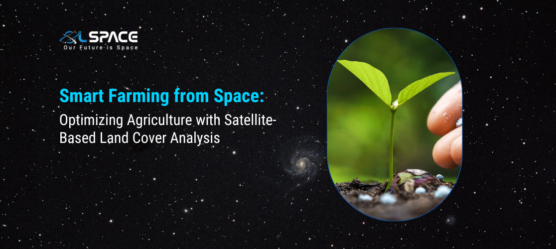
Smart Farming from Space: Optimising Agriculture with Satellite-Based Land Cover Analysis
21 February 2025
Smart Farming from Space: Optimising Agriculture with Satellite-Based Land Cover Analysis
In today’s digital age, agriculture has evolved well past traditional practices. Smart farming-dominated by land cover analysis through satellite-has changed how farmers administer and manage their fields, with consequent benefits including a rise in yield, resource management, and enhanced sustainability.
1.How the Satellite Imagery Enriches Agriculture
Through sky-based land cover analysis, we can glean invaluable insights into the health of the soil, conditions affecting crops at all states, and other environmental influences on agriculture. With high-resolution images, good data analytics enables farmers to:
Monitor Crop Health: Identify early signs of diseases, pest issues, or drought stress.
Optimise Water Usage: Evaluate soil moisture levels to enhance irrigation efficiency.
Enhance Precision Farming: Apply fertilisers and pesticides more accurately, minimising waste and costs.
Manage Land Use: Explore the most favorable fields for cultivation, thus protecting ecosystems.
2. Benefits of Satellite Agriculture Monitoring
Increased Productivity: Early interventions lead to better crop health and yield.
Sustainability: Reduced chemical application, and improved water management support eco-friendly farming.
Cost Savings: Data-based decisions culminate in minimal resource waste and operating expenditure.
Climate Resilience: Predictive analytics enable farmers to adjust to shifting weather patterns.
3. Smart Farming of Tomorrow
As AI and IoT technologies develop, satellite imagery becomes more accurate and actionable. This means the food security and environmental sustainability of our planet improve greatly due to a further increase in the number of farmers resorting to space-driven agricultural methods.
Smart farming from space is no longer a dream for the future; it is already in place. The partnership of agriculture with satellite technology makes for a more effective and sustainable global food production scheme.