Blog Details
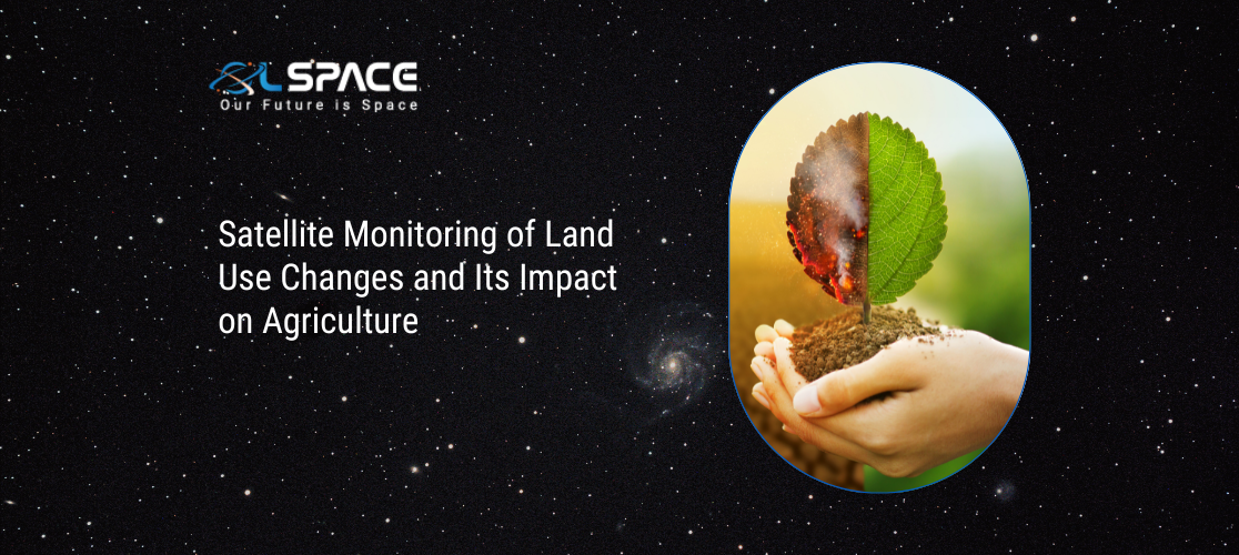
Satellite Monitoring of Land Use Changes and Its Impact on Agriculture
19 March 2024
Satellite Monitoring of Land Use Changes and Its Impact on Agriculture
Satellite monitoring of land use changes plays a crucial role in assessing the impact on agriculture and facilitating informed decision-making in agricultural management. Here are some key points highlighting the significance and benefits of satellite monitoring in this context:
1. Remote Sensing Technology: Satellites equipped with remote sensing technology can capture high-resolution imagery of land surfaces, allowing for detailed monitoring and analysis of land use changes over time. This technology includes optical sensors, multispectral sensors, and radar imaging that can detect changes in vegetation, land cover, and soil conditions.
2. Monitoring Agricultural Land: Satellite imagery enables continuous monitoring of agricultural land, including croplands, pasture areas, and forests. It can track changes such as crop growth stages, land degradation, deforestation, urban encroachment, and water usage patterns, providing valuable insights into agricultural practices and environmental impacts.
3. Crop Health and Productivity: Satellite data can assess crop health and productivity by analysing vegetation indices such as NDVI (Normalised Difference Vegetation Index). NDVI calculations based on satellite imagery can indicate vegetation vigor, biomass production, stress levels, and identify areas of crop damage or disease outbreaks.
4. Land Use Classification: Satellite imagery combined with machine learning and GIS techniques allows for land use classification and mapping. It can differentiate between various land cover types such as croplands, forests, water bodies, urban areas, and natural vegetation, facilitating land use planning and resource management strategies.
5. Environmental Monitoring: Satellite monitoring helps in assessing the environmental impact of land use changes on soil quality, water resources, biodiversity, and ecosystem health. It can identify areas susceptible to soil erosion, water pollution, deforestation, and habitat loss, supporting conservation efforts and sustainable land management practices.
6. Early Warning Systems: Satellite data can contribute to early warning systems for agricultural risks such as droughts, floods, pests, and diseases. Timely detection of environmental stressors allows farmers and authorities to take preventive measures, optimise irrigation practices, implement pest control strategies, and mitigate crop losses.
7. Decision Support Systems: Integrating satellite monitoring data into decision support systems (DSS) provides stakeholders with actionable insights and decision-making tools. DSS can offer crop yield predictions, optimal planting schedules, irrigation recommendations, land suitability assessments, and risk assessments based on historical and real-time satellite data.
8. Policy Making and Resource Allocation: Governments, agricultural agencies, and policymakers use satellite-based information for policy formulation, land-use planning, agricultural subsidies, natural resource management, and disaster response planning. Data-driven policies informed by satellite monitoring promote sustainable agriculture, food security, and environmental conservation.
9. Global Coverage and Scalability: Satellite monitoring offers global coverage, making it applicable across diverse geographic regions and scales, from small farms to large agricultural landscapes. It provides a scalable and cost-effective solution for monitoring land use changes and agricultural dynamics across different regions and climates.
In conclusion, satellite monitoring of land use changes is a valuable tool for agriculture, enabling continuous monitoring, assessment, and management of agricultural lands, environmental resources, and associated risks. Leveraging satellite data enhances agricultural resilience, productivity, sustainability, and supports evidence-based decision-making for agricultural stakeholders and policymakers alike.