24 March 2023
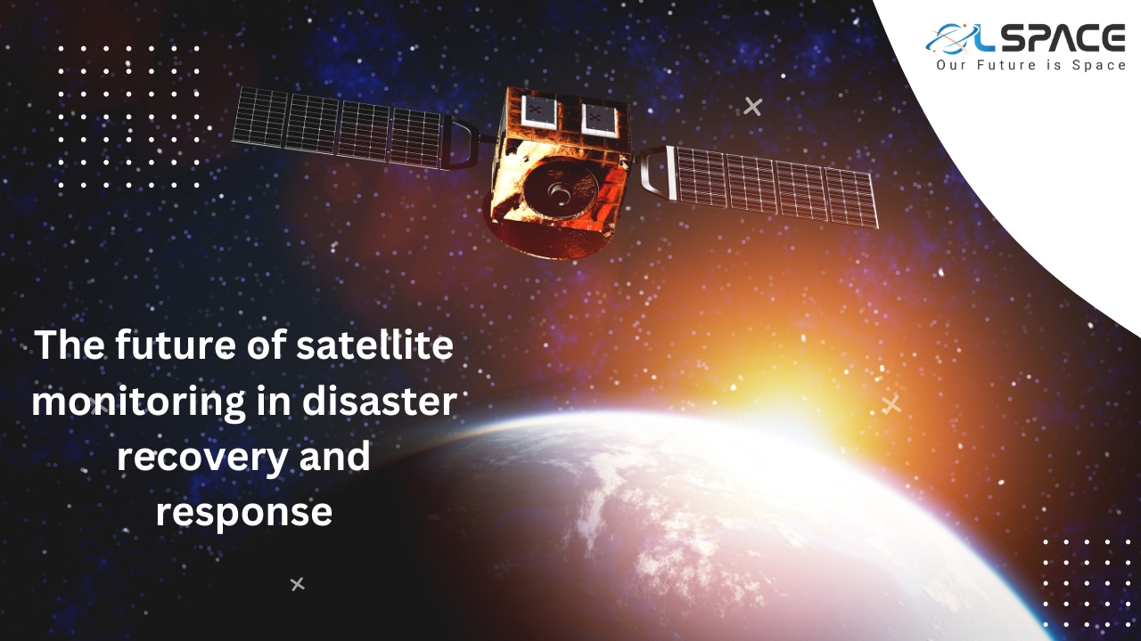
The future of satellite monitoring in disaster recovery and response

Satellite monitoring is playing an increasingly important role in disaster recovery and response efforts. With the advancement of satellite technology, it has become easier to gather vast amounts of high-resolution imagery and data in a timely manner. This data is then processed to extract valuable information that can assist response teams in their efforts to mitigate the impact of a disaster and recover quickly.
One of the key benefits of satellite monitoring is that it allows for real-time, remote assessment of the damage caused by a disaster. This can include the extent of damage to infrastructure, identification of areas that require immediate attention, and assessment of the overall impact on the affected population. This information is crucial in guiding the allocation of resources and determining the most effective response plan.
In addition to satellite imagery, metadata and key words can be used to enhance the analysis and interpretation of the data. Metadata refers to data that describes other data, and it can provide valuable information such as the time and location of the data acquisition, the type of sensor used, and the resolution of the data. Key words are terms that are used to describe specific aspects of the data and can be used to search and retrieve relevant information quickly.
The use of metadata and key words in satellite monitoring can help to streamline the process of analysing and interpreting the data. By providing additional context, metadata and key words can assist in identifying areas that require immediate attention, and help response teams to prioritise their efforts. This can be especially useful in large-scale disasters where the volume of data generated can be overwhelming.
One example of the use of satellite monitoring in disaster recovery and response is in the aftermath of natural disasters such as hurricanes, earthquakes, and tsunamis. In these scenarios, satellite imagery and data can be used to assess the extent of damage to infrastructure, including roads, buildings, and communication networks. This information can then be used to prioritise the deployment of resources, including rescue and relief teams, as well as essential supplies.
Another example is in the response to man-made disasters, such as oil spills. In these scenarios, satellite data can be used to monitor the spread of the spill, and to assess the impact on the surrounding environment and wildlife. This information can then be used to direct cleanup efforts and minimise the long-term impact on the environment.
Satellite monitoring has also proven to be valuable in monitoring and responding to complex humanitarian emergencies, such as conflicts and forced migration. In these scenarios, satellite imagery and data can be used to monitor the movement of populations, to assess the impact of the crisis on infrastructure and communities, and to guide the allocation of resources to meet the needs of those affected.
In conclusion, the future of satellite monitoring in disaster recovery and response is bright, with the potential for even greater advancements in the technology in the coming years. The use of metadata and key words in satellite monitoring can help to streamline the analysis and interpretation of data, providing valuable information that can assist response teams in their efforts to mitigate the impact of a disaster and recover quickly. With the increasing use of satellite monitoring in disaster recovery and response, it is likely that this technology will continue to play a critical role in ensuring that communities are able to recover and rebuild following a disaster.
Join our community and never miss an update! Subscribe to our newsletter and blog to stay up-to-date on the latest trends, tips, and insights in your area of interest. Don’t miss out on exclusive content and promotions. Sign up now and be a part of our growing community!
