28 May 2024
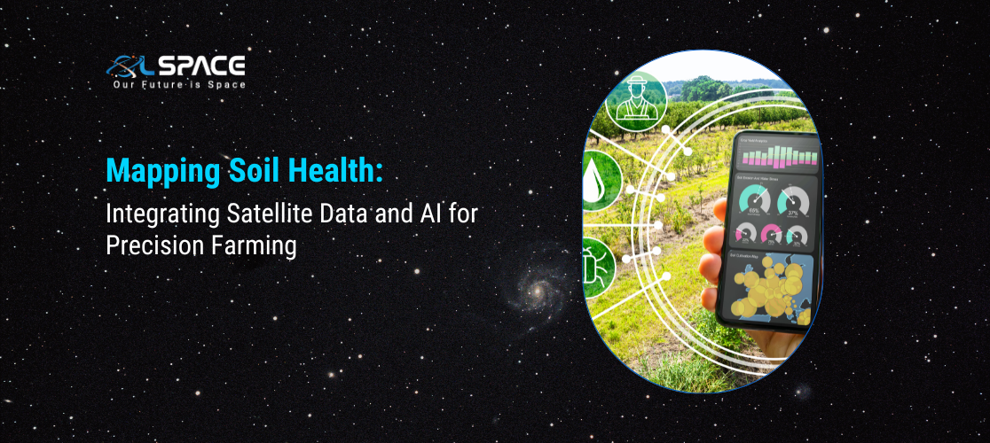
Mapping Soil Health: Integrating Satellite Data and AI for Precision Farming

Precision farming revolutionises agricultural practices by utilising advanced technologies to optimise crop production while minimising environmental impact. Integrating satellite data and AI is a key component of this approach.
1. The Role of Satellite Data: Satellite imagery provides comprehensive coverage of agricultural landscapes, offering valuable insights into soil composition, moisture levels, and crop health. This data is crucial for assessing soil health and identifying areas for improvement.
2. Harnessing AI for Analysis: Machine learning algorithms analyse vast amounts of satellite data to generate detailed maps of soil health parameters such as nutrient levels, pH, and organic matter content. AI-driven analysis enables farmers to make data-driven decisions and implement targeted interventions.
3. Benefits of Soil Health Mapping: Mapping soil health allows farmers to tailor their farming practices to specific field conditions, leading to improved crop yields and resource efficiency. By identifying areas with nutrient deficiencies or soil erosion, farmers can implement precision nutrient management and conservation practices.
4. Enhancing Sustainability: Precision farming practices informed by soil health mapping promote sustainable agriculture by reducing chemical inputs, minimising soil erosion, and conserving water resources. This approach supports long-term soil health and ecosystem resilience.
5. Future Directions: As satellite technology and AI continue to advance, the integration of these tools into precision farming will become increasingly sophisticated. Future developments may include real-time monitoring capabilities and predictive analytics for proactive soil management.
By integrating satellite data and AI, soil health mapping becomes a powerful tool for enhancing precision farming practices, optimising crop production, and promoting sustainable agriculture in a rapidly changing world.
