Blog Details
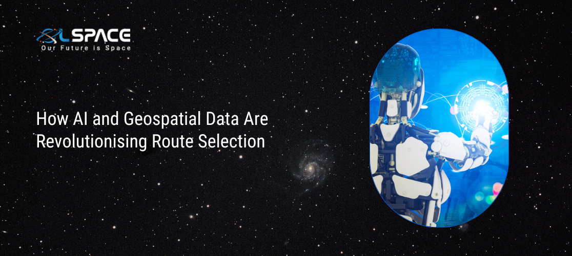
How AI and Geospatial Data Are Revolutionising Route Selection
26 February 2025
How AI and Geospatial Data Are Revolutionising Route Selection
In the modern era of infrastructure development, Artificial Intelligence (AI) and geospatial data are transforming the way we select routes for transportation, energy, and communication networks. From highway planning to power transmission lines, these technologies enhance efficiency, reduce costs, and minimise environmental impact.
The Power of AI in Route Optimisation
AI algorithms analyse vast datasets, including terrain, climate, population density, and environmental risks, to determine the most efficient and sustainable routes. Machine learning models continuously refine these routes based on real-time data, improving accuracy and adaptability.
Geospatial Data: The Foundation of Smart Routing
With high-resolution satellite imagery, GIS mapping, and LiDAR technology, decision-makers can assess landscapes with unprecedented precision. This enables:
✅ Avoiding high-risk areas (e.g., landslides, flood zones)
✅ Reducing construction and maintenance costs
✅ Enhancing environmental sustainability
Real-World Applications
Smart Transport Planning – AI-driven route selection optimises traffic
flow and reduces congestion.
Power Transmission Lines – AI and geospatial data help map out the most cost-effective and eco-friendly routes.
Supply Chain & Logistics – Optimised delivery routes improve efficiency and reduce fuel consumption.
The Future of Route Planning
As AI continues to evolve, autonomous systems will play a key role in predictive maintenance, disaster response, and urban planning. The combination of AI and geospatial intelligence is paving the way for smarter, safer, and more connected infrastructure.
The future of route selection is here—powered by AI and guided by geospatial precision. 🚀