Blog Details
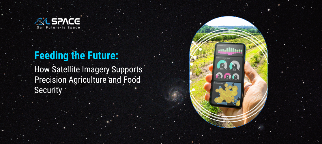
Feeding the Future: How Satellite Imagery Supports Precision Agriculture and Food Security
17 May 2024
Feeding the Future: How Satellite Imagery Supports Precision Agriculture and Food Security
As the global population continues to grow, ensuring food security and sustainable agriculture becomes increasingly critical. Precision agriculture, enhanced by satellite imagery, is at the forefront of this challenge, offering innovative solutions to optimize crop yields, manage resources efficiently, and reduce environmental impact. This blog explores how satellite imagery is revolutionizing agriculture and contributing to global food security.
Understanding Precision Agriculture Precision agriculture is a farming management concept that uses information technology to ensure crops and soil receive exactly what they need for optimum health and productivity. This approach relies on data from various sources, including satellite imagery, to make informed decisions about planting, fertilization, irrigation, and pest control.
The Role of Satellite Imagery in Precision Agriculture Satellite imagery provides a wealth of data that can be analyzed to monitor and manage agricultural activities.
Here are some key ways in which satellite imagery supports precision agriculture:
1. Crop Monitoring and Health Assessment: Vegetation Indices: Satellites capture images that can be processed to generate vegetation indices, such as the Normalised Difference Vegetation Index (NDVI), which indicate the health and vigor of crops. These indices help farmers identify stressed areas that may require intervention. Growth Tracking: Satellite data allows for continuous monitoring of crop growth stages, helping farmers make timely decisions about fertilisation, irrigation, and harvesting.
2. Soil and Field Analysis: Soil Moisture: Satellites equipped with radar sensors can measure soil moisture levels, providing essential information for efficient irrigation management. Field Mapping: High-resolution satellite images enable detailed mapping of fields, including soil types and topography, to optimise planting patterns and resource allocation.
3. Pest and Disease Management: Early Detection: Satellite imagery can detect anomalies in crop health that may indicate the presence of pests or diseases, allowing for early intervention and targeted treatments. Monitoring Spread: By tracking changes in vegetation indices over time, satellites help monitor the spread of pests and diseases, aiding in the development of effective control strategies.
4. Resource Management: Water Management: Accurate data on soil moisture and evapotranspiration rates from satellite imagery helps farmers optimise irrigation schedules, reducing water usage and improving crop yields. Nutrient Management: Satellites can provide information on nutrient deficiencies in crops, guiding precise application of fertilisers to areas where they are needed most.
5. Yield Prediction and Harvest Planning: Yield Estimation: Satellite imagery, combined with historical data and machine learning algorithms, can predict crop yields with high accuracy. This helps farmers plan harvests and manage supply chains effectively. Harvest Timing: Monitoring crop maturity through satellite images ensures that harvests are conducted at the optimal time, maximising yield and quality.
Enhancing Food Security with Satellite Imagery
The benefits of using satellite imagery in precision agriculture extend beyond individual farm productivity. Here’s how satellite technology contributes to broader food security goals:
1. Climate Resilience: Adaptation Strategies: By providing data on climate patterns and their impact on agriculture, satellites help develop strategies to adapt farming practices to changing conditions, ensuring stable food production. Disaster Response: Satellite imagery aids in assessing the impact of natural disasters, such as droughts and floods, on agriculture, facilitating timely response and recovery efforts.
2. Sustainable Practices: Reducing Environmental Impact: Precision agriculture minimises the overuse of water, fertilisers, and pesticides, reducing the environmental footprint of farming activities. Conservation Efforts: Satellites monitor land use changes and deforestation, supporting conservation efforts that protect vital ecosystems and biodiversity.
3. Global Monitoring and Policy Making: Food Supply Chains: Satellite data helps track global agricultural production and food supply chains, providing insights into potential shortages and enabling proactive measures to mitigate food insecurity. Policy Development: Governments and organisations use satellite-derived data to inform agricultural policies, ensuring they are based on accurate, up-to-date information.
Case Studies: Satellite Imagery in Action
1. Precision Irrigation in India: Challenge: Water scarcity in many parts of India threatens agricultural productivity. Solution: Using satellite imagery, farmers receive precise data on soil moisture and crop water needs, enabling efficient irrigation practices that conserve water while maintaining crop health.
2. Disease Management in Kenya: Challenge: Maise lethal necrosis disease (MLND) poses a significant threat to maise production in Kenya. Solution: Satellite imagery helps detect early signs of MLND, allowing for rapid response and containment measures to prevent widespread crop loss.
3.Yield Forecasting in the United States: Challenge: Accurate yield forecasting is essential for managing supply chains and market prices. Solution: Advanced satellite imagery and machine learning models predict crop yields with high accuracy, helping farmers and agribusinesses make informed decisions.
The Future of Satellite Imagery in Agriculture As technology advances, the capabilities of satellite imagery in agriculture will continue to expand.
Future developments may include: Higher Resolution and Frequency: Enhanced satellite sensors will provide even more detailed and frequent data, improving the precision and timeliness of agricultural insights. Integration with IoT and Big Data: Combining satellite imagery with data from IoT devices and other sources will create comprehensive agricultural management systems, further optimising farming practices. Artificial Intelligence and Machine Learning: Advanced AI and machine learning algorithms will enhance the analysis of satellite data, offering deeper insights and more accurate predictions.
Conclusion Satellite imagery is a powerful tool that supports precision agriculture and contributes significantly to global food security. By enabling efficient resource management, early detection of pests and diseases, and accurate yield predictions, satellite technology helps farmers optimise their practices and adapt to environmental challenges. As we continue to innovate and integrate these technologies, the future of agriculture looks promising, with the potential to sustainably feed a growing population.