26 May 2023
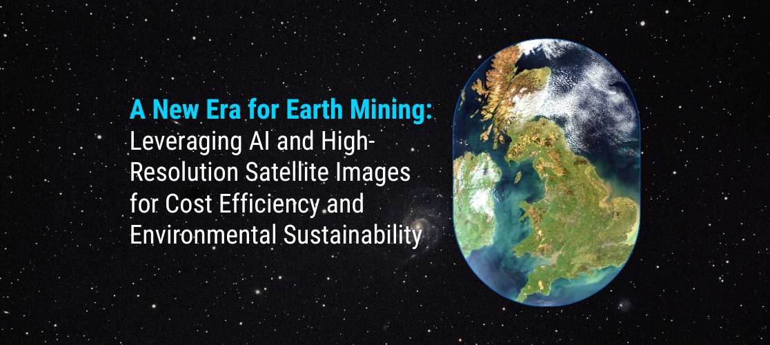
A New Era for Earth Mining: Leveraging AI and High-Resolution Satellite Images for Cost Efficiency and Environmental Sustainability

The mining industry is undergoing a transformative shift as advancements in technology, particularly in artificial intelligence (AI) and satellite imaging, offer unprecedented opportunities for cost efficiency and environmental sustainability. By harnessing the power of AI algorithms and analysing high-resolution satellite images, mining companies can optimise operations, reduce costs, minimise environmental impact, and make informed decisions. In this blog, we will explore how AI and high-resolution satellite images are ushering in a new era for earth mining.
Enhanced Exploration and Resource Assessment Traditionally, exploration and resource assessment involve time-consuming and expensive on-site surveys. However, with high-resolution satellite images, mining companies can now remotely analyse vast areas of land with incredible detail. AI algorithms can process this imagery to identify geological features, detect mineral signatures, and map potential deposits. By leveraging AI-powered satellite data analysis, mining companies can make informed decisions on where to focus their exploration efforts, reducing costs and minimising the environmental impact of unnecessary exploration activities.
Optimal Site Selection and Planning Selecting the right mining site and planning operations are crucial for efficiency and sustainability. High-resolution satellite images combined with AI algorithms enable accurate terrain analysis, identification of infrastructure requirements, and assessment of environmental factors. This information aids in selecting optimal sites for mining operations, considering factors such as accessibility, proximity to transportation routes, availability of water resources, and potential environmental risks. By leveraging AI and satellite images, mining companies can optimise site selection, minimise logistical challenges, and reduce the impact on environmentally sensitive areas.
Intelligent Monitoring and Predictive Maintenance AI-powered analysis of satellite images allows for real-time monitoring of mining sites. Satellite data can be used to track changes in vegetation, land use, and environmental conditions, helping mining companies proactively address potential issues and mitigate environmental impacts. AI algorithms can detect anomalies in mining operations, equipment malfunctions, or safety hazards, enabling predictive maintenance and reducing costly downtime. With AI-driven monitoring, mining companies can optimise production, minimise environmental incidents, and ensure the safety of workers.
Efficient Resource Extraction and Waste Management AI algorithms combined with high-resolution satellite images can optimise resource extraction processes. By analysing the composition and density of mineral deposits, mining companies can develop more precise extraction techniques, reducing waste and optimising resource recovery. AI algorithms can also aid in monitoring and managing waste disposal sites, ensuring compliance with environmental regulations and minimising the impact on surrounding ecosystems. This approach enhances resource efficiency, reduces environmental damage, and contributes to sustainable mining practices.
Environmental Impact Assessment and Rehabilitation High-resolution satellite images, along with AI analysis, provide valuable insights for environmental impact assessment and rehabilitation. Satellite data can track changes in land cover, water quality, and vegetation health, helping assess the impact of mining activities on ecosystems. AI algorithms can assist in predicting and modeling potential environmental impacts, aiding in the development of mitigation strategies. Additionally, satellite imagery can be used to monitor reclamation efforts and track the progress of land rehabilitation, ensuring that post-mining activities align with
environmental regulations and sustainability goals.Conclusion
The convergence of AI and high-resolution satellite images is revolutionising the mining industry, offering immense potential for cost efficiency and environmental sustainability. By leveraging these technologies, mining companies can optimise exploration efforts, select optimal sites, monitor operations in real time, and implement efficient resource extraction and waste management practices. Furthermore, AI-powered analysis aids in environmental impact assessment and supports rehabilitation efforts. Embracing this new era of earth mining not only improves operational efficiency but also contributes to a more sustainable and responsible mining industry for the future.
Join our community and never miss an update! Subscribe to our newsletter and blog to stay up-to-date on the latest trends, tips, and insights in your area of interest. Don’t miss out on exclusive content and promotions. Sign up now and be a part of our growing community!
